–By Christy Fandel, Coast Survey physical scientist
Have you ever wondered what lies beneath the charted soundings on a nautical chart? While surveying Alaskan waters during the 2013 hydrographic field season, collecting bathymetry to update NOAA’s nautical charts, hydrographers revealed many interesting geologic features on the seafloor.
NOAA focuses a significant portion of our ocean mapping effort along the Alaskan coast. The Alaskan coastline represents over 50% of the United States coastline and dated nautical charts are inadequate for the increasing vessel traffic in this region. NOAA surveys are essential for providing reliable charts to the area’s commercial shippers, passenger vessels, and fishing fleets.
This past season, NOAA-funded hydrographic surveys in Alaska revealed many interesting geological features on the seafloor. Three surveys, in particular, took place in southeastern Alaska in the Behm Canal, along the Aleutian Chain within the coastal waters surrounding Akutan Island, and around Chirikof Island.
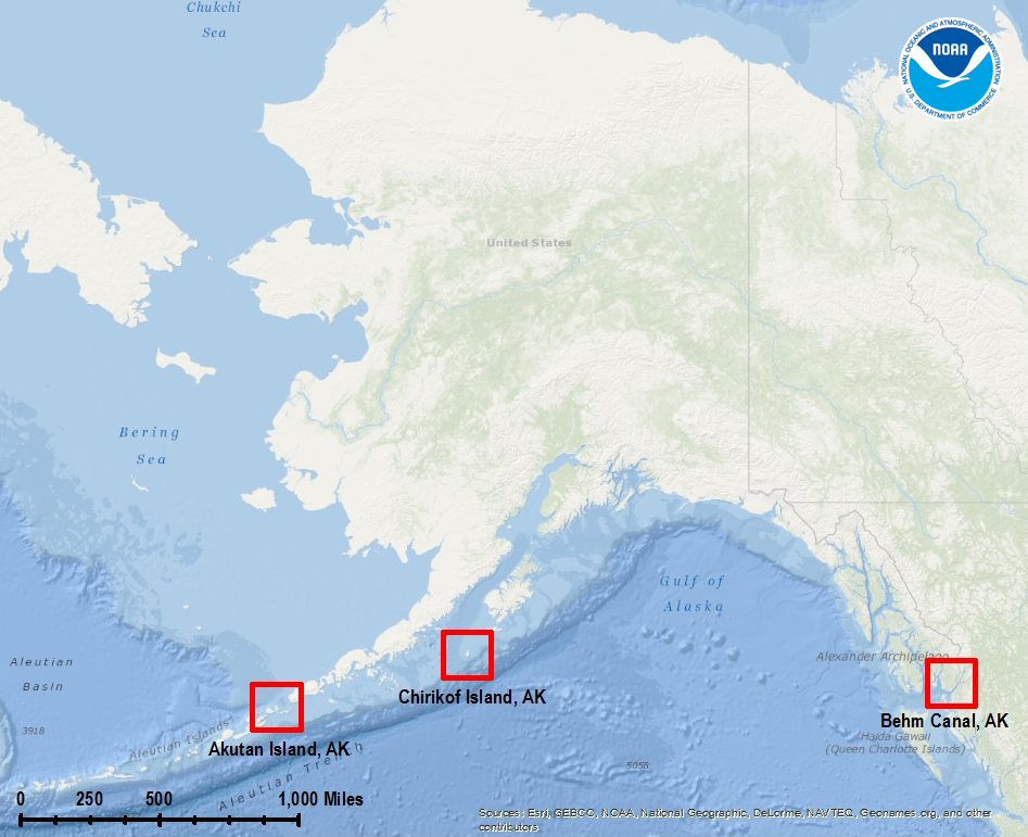
In May, hydrographic surveying conducted by NOAA Ship Rainier in the Behm Canal revealed two distinct geological features. In the northern region of the canal, scientists identified a long, meandering ancient river. This ancient submarine river is nearly 40 km in length with up to 50 m in relief. Further south, Rainier surveyed a large volcanic-like feature. The surveyed volcano appears to have a distinct caldera, or collapse-feature that most likely formed after the volcanic eruption.


Directly following the Behm Canal survey, Rainier transited west to survey the coastal waters surrounding Chirikof Island. The acquired bathymetric data revealed a stark northeast-trending fault in the southeastern portion of the survey area. This surveyed fault is distinguished by a clear misalignment across the fracture.

Concurrently, an Office of Coast Survey hydrographic surveying contractor – Fugro-Pelagos – was surveying off the western coast of Akutan Island. Fugro’s hydrographers identified a large volcanic feature within the acquired bathymetric data. The surveyed volcanic feature is believed to be either a volcanic vent or cinder cone volcano. The multiple circular rings outlining this feature may represent the successive lava flows that formed the volcano.

With the upcoming 2014 hydrographic field season quickly approaching, the number of geologic discoveries will only increase. Extending all along the Aleutian Chain, from Kodiak Island to Bechevin Bay, the planned surveys for the 2014 field season will surely reveal many interesting and previously unknown geologic features.

Just in case anyone is interested, Burroughs Bay appears in Marcus Baker’s Geographic Dictionary of Alaska (Washington, GPO, 1902) with the following entry:
“Burroughs: bay, in the mainland north of Revillagigedo island, Alexander archipelago. Named Burrough’s bay by Vancouver in 1793.
Rendered Burrong (burrower) on one Russian chart.”
Charles A. Burroughs
Captain, NOAA (Ret.)
CO, FW (1973-74)
LikeLike